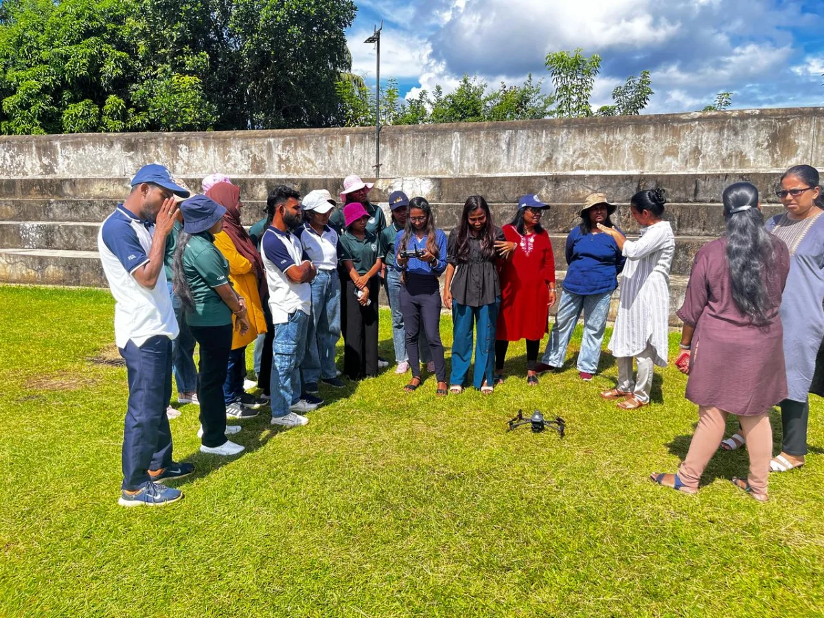
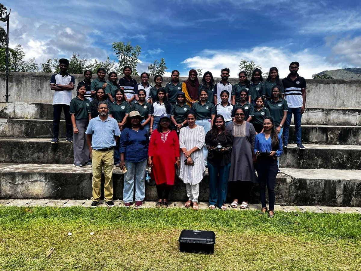
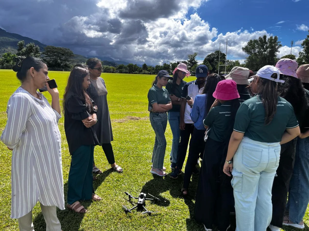
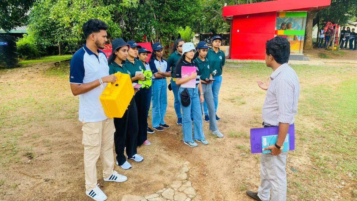
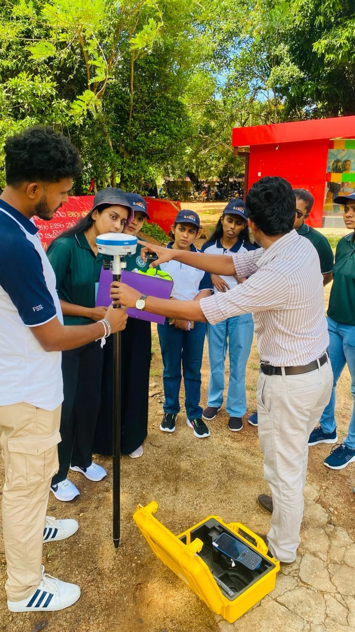
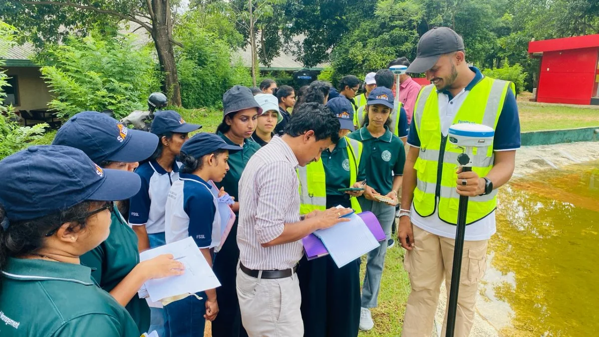
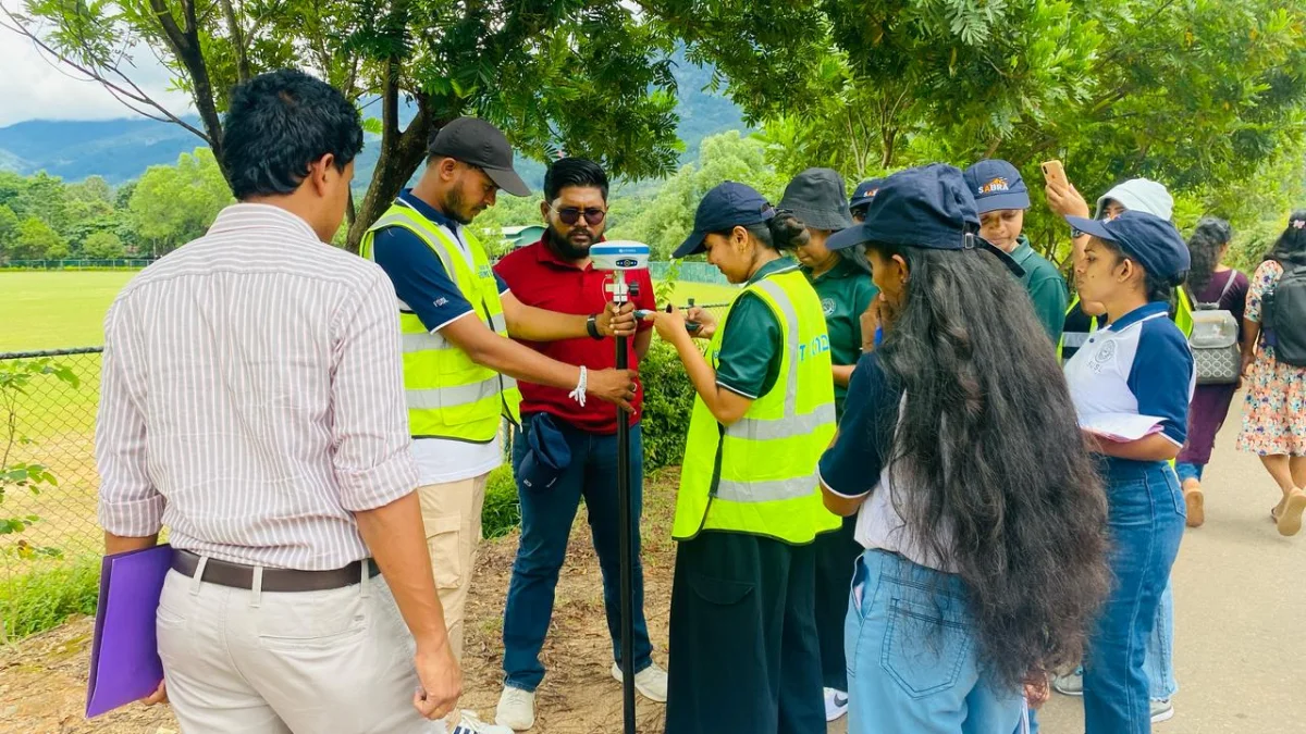
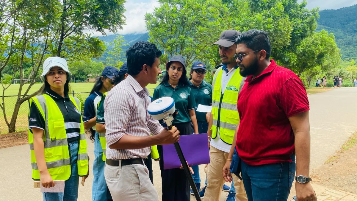
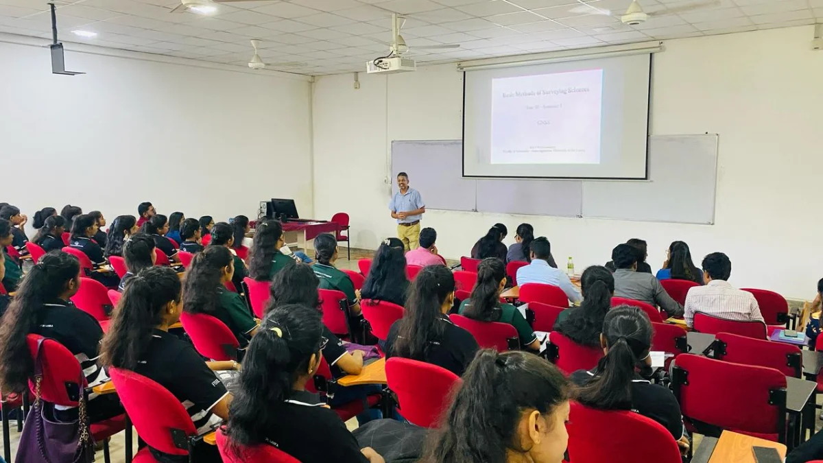
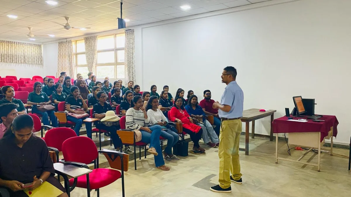
A joint GNSS and Drone Survey practical session was successfully conducted on 30th April 2025 from 8.00 a.m. to 1.30 p.m. at the Faculty of Geomatics premises, Sabaragamuwa University of Sri Lanka.
The session was collaboratively organized by the Department of Surveying and Geodesy and the Department of Remote Sensing and GIS of the Faculty of Geomatics, together with the Department of Geography and Environmental Management, Faculty of Social Sciences and Languages.
All second-year and third-year GIS students of the Department of Geography and Environmental Management participated in the field session and gained valuable hands-on experience in GNSS and drone-based surveying techniques.
The Department extended its sincere appreciation to all academic staff members, especially Mr. Waruna Kannangara from the Faculty of Geomatics, for their generous support and guidance in making the practical session a success.